The rain has already moved into Massachusetts to kick off the work week and it’ll stick around through bedtime tonight.
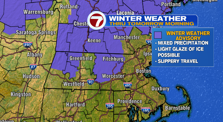
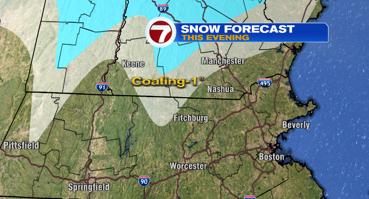
For the northern Worcester Hills there may be some snow, mixing and/or freezing rain since temperatures are colder there, so be careful of slick spots.
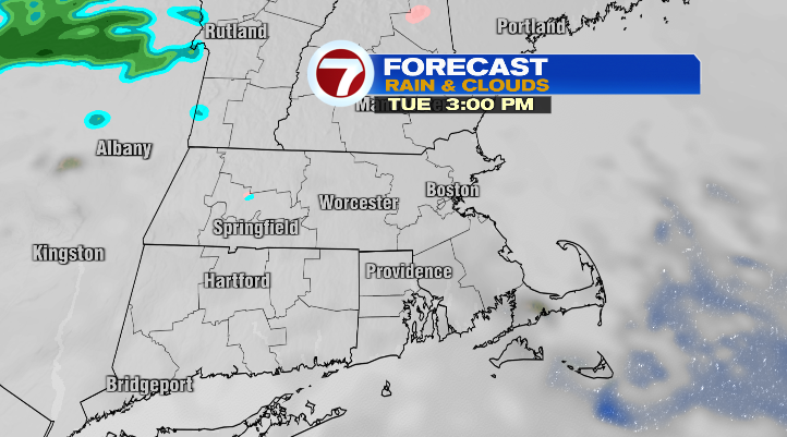
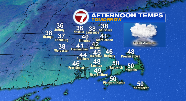
Overnight lows will vary greatly from the 30s in north central Massachusetts to near 40 degrees in eastern Massachusetts. Watch out for slick spots on the roads early in the morning. Tomorrow will be a cloudy one and it’ll be mostly dry except for a chance for some spotty drizzle.
Be careful in the Worcester Hills again, as temperatures there will only be in the 30s even in the afternoon, bringing a risk for freezing drizzle. Everyone else will be too warm.
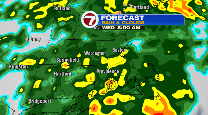
A much greater threat comes Wednesday. Highs will be incredibly warm in the upper 50s and low 60s. That means no wintry precipitation, however there will be a soaking rain. With the ground very hard this time of year, there may be enough rain (1.5-2.5 inches) to promote some minor street flooding.
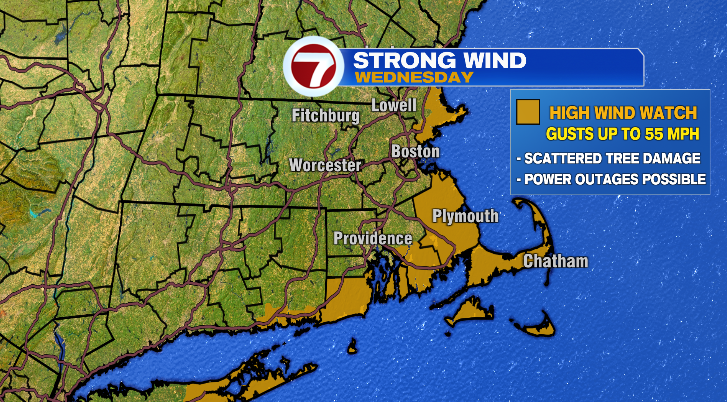
There is also a serious wind threat. That’s especially true this time of year when many people have holiday decorations out. Make sure to secure them! Wind gusts will top 40 mph for many with gusts over 50 mph ahead for the coast and the Cape. The National Weather Service has issued a high wind watch in advance of the expected strong to potentially damaging wind.
We dry out Wednesday night and then it’s business-as-usual for Thursday. Thursday morning will be cold in the low to mid 30s with afternoon highs in the upper 30s. It will still be windy, making it feel like the 20s during the warmest part of the day. Dress warmly!
Friday and Saturday will be dry and bright in the 30s with lows in the upper teens and low 20s. Sunday and Monday we’ll be back into the 40s with more chances for rain and a wintry mix.